Community Access
Improving Community Access and Roadside Amenity
This program aims to improve personal mobility and community access needs on the road network.

Key Performance Indicators
2013 Target |
2013 Actual |
Result |
|
% of the year that 100% of the State road network is available |
70% |
94% |
✔ |
% Community satisfaction with cycleways and pedestrian facilities |
90% |
83% |
✔ |
% of contracts completed on budget |
90% |
80% |
✔ |
Introduction
The Community Access Program provides infrastructure including remote access roads; pedestrian and bicycle rider access; improved access and mobility for those with disabilities; integration of public transport initiatives; and improved amenities such as information bays, noise attenuation and landscaping. Some of the key projects and achievements delivered through the program are shown below.
Key Achievements
Project |
Total Project Cost ($ million) |
2012-13 Cost ($ million) |
Completion Date |
Description |
Gascoyne Region |
||||
Carnarvon Flood Levees |
60.0 |
26.3 |
March 2014 |
Construction of levees to mitigate damage from flooding of the Gascoyne River |
Great Southern Region |
||||
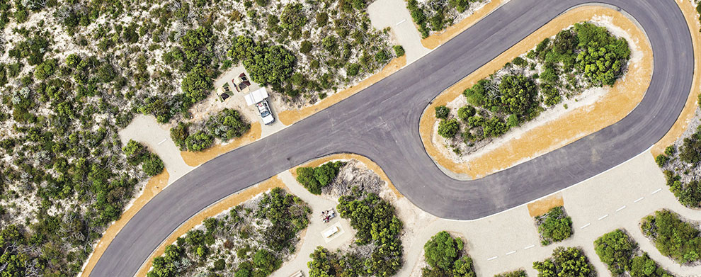
Fitzgerald River National Park |
30.0 |
5.4 |
April 2013 |
Construction of Hamersley Drive and associated spur roads near Hopetoun; upgrade and seal sections of roads to Point Ann |
Kimberley Region |
||||
Gibb River Road |
3.4 |
3.1 |
December 2012 |
Construct to seal various sections totalling 18 km between El Questro Road and Great Northern Highway |
Metropolitan Region |
||||
Mitchell Freeway/Whitfords Avenue |
2.4 |
2.4 |
May 2013 |
Construction of amenity walls |
South West Region |
||||
Forrest Highway |
2.5 |
2.5 |
June 2013 |
Footbridge over Preston River Eelup |

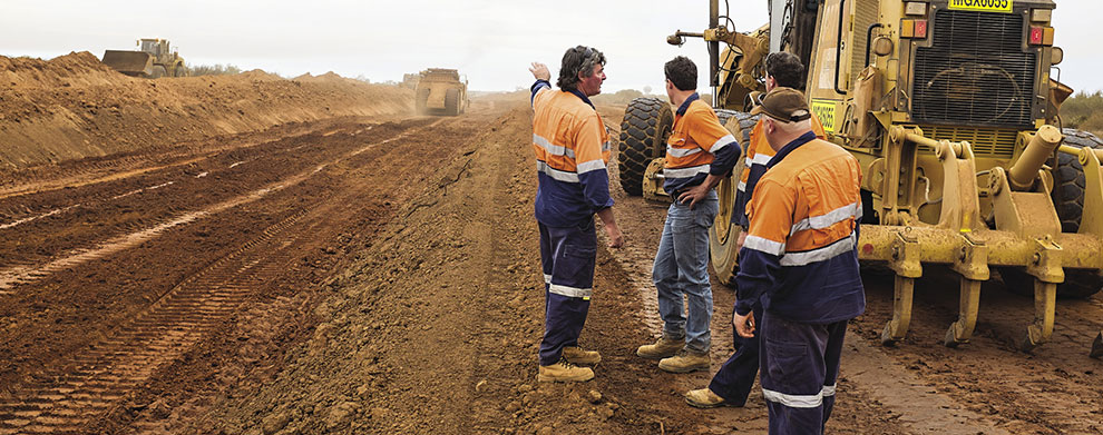
Flood mitigation works, Carnarvon
Looking Ahead
- Construction of levees to mitigate damage from flooding of the Gascoyne River in the Carnarvon Horticultural Area and improvements to the existing North West Coastal Floodway.
- Continue undertaking various improvement works on the Gibb River Road including gravel re-sheeting and drainage improvements.
- Gravel re-sheeting and drainage improvements on Great Central Road between Laverton and Docker River.
- Continue sealing various sections of the Broome-Cape Leveque Road.
Case Study
Encouraging Sustainable Transport and Improving Local Access
A total of $50 million has been committed to the improvement of the Principal Shared Path (PSP) network in the Perth metropolitan area. This fund will allow us to design and construct critical missing sections and existing substandard sections of the PSP network identified in the Draft Western Australian Bicycle Network Plan 2012-21. Read more...


